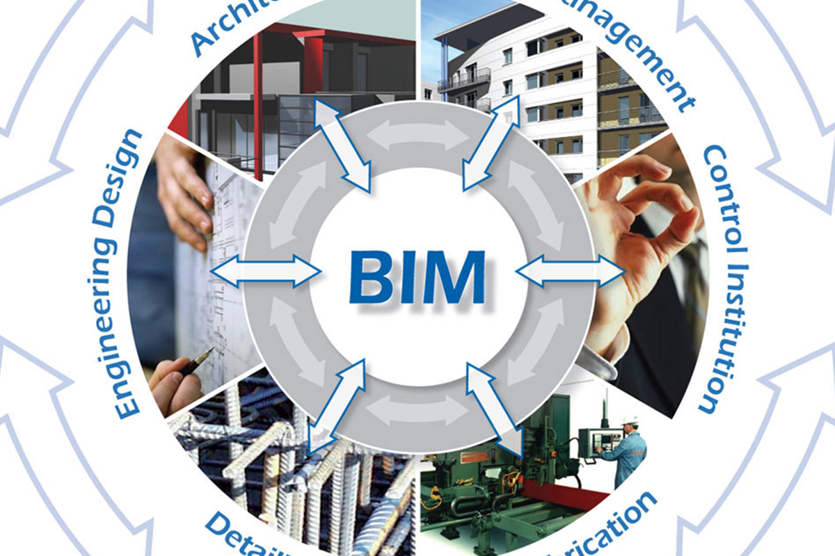
Building Information Modeling
Building Information Modeling, or BIM, has long been used by architects and engineers to design buildings virtually. The technology is now turning up in construction site trailers, where general contractors have begun using it to make sure work schedules and material orders are accurate.
BIM is useful in coordinating a project and resolving design issues. For example, general contractors and sub-consultants use BIM to see exactly how plumbing and mechanical systems are routed through a building that is under construction.
High Definition Laser Scanning Operations
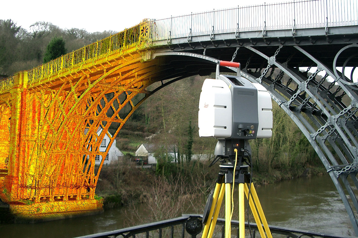
Laser scanning is a relatively new technology, having been used as a precise survey instrument only since 1998. Now, it is quickly becoming the new industry standard as a way to make very accurate measurements in complicated environments. This is precisely why using this technology is the best solution for measuring as-built conditions inside buildings. This instrument collects survey data points at a rate of 50,000 points per second. It has an effective range of 400’ to 500’. With several “scan” setups inside a room or of a building, a complete 3D model can be made of the existing conditions. These models are then used to create 2D civil or architectural drawings, 3D computer models, and final survey documents.
Geographic Information System
A geographic information system (GIS) integrates hardware, software, and data for capturing, managing, analyzing, and displaying all forms of geographically referenced information.
GIS allows us to view, understand, question, interpret, and visualize data in many ways that reveal relationships, patterns, and trends in the form of maps, globes, reports, and charts.
HRC (High Rise) and Construction Services
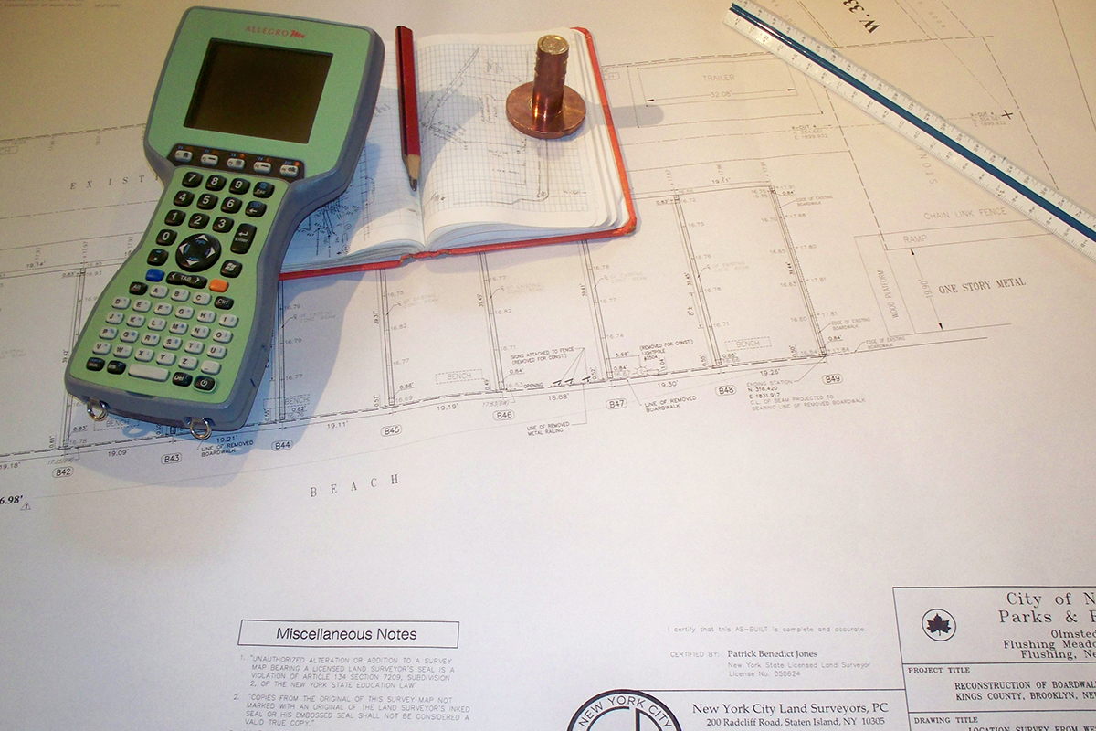
Construction surveying is the process of translating construction plans into physical points on the ground that is used as a basis for the actual construction. This type of surveying operates in all three dimensions, providing not only the horizontal location of new improvements, but also the vertical information required to ensure that surfaces will drain or that pipes will flow as required.
Ground Penetrating Radar
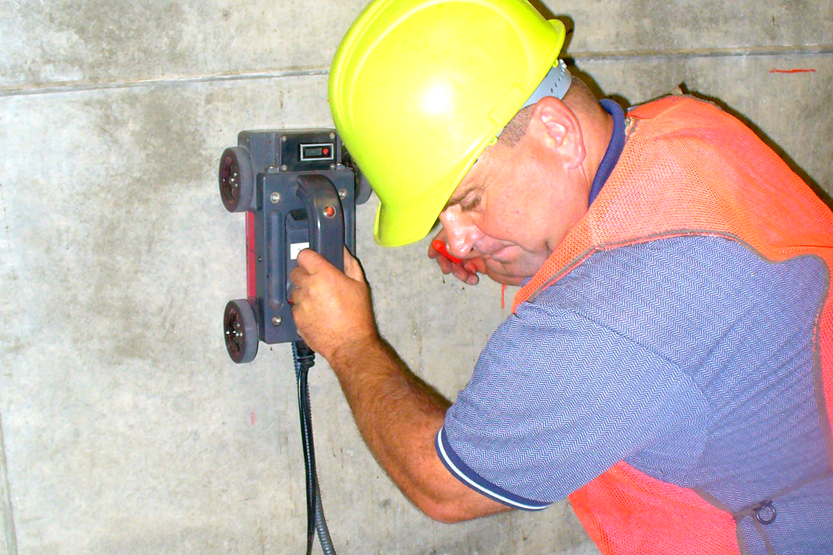
NYCLS provides Ground Penetrating Radar to the New York City Metropolitan Area. Ground Penetrating Radar (GPR) is an important Tool in Commercial Construction. It’s a safe and harmless method for accurately detecting hidden elements in concrete.
GPR is safer and unequivocal compared to X-Raying, mostly because GPR equipment is not dangerous to use around people without any safety constraints (radiation) or setup requirements. Because GPR is so conducive with its advanced technological features, interruptions of construction operations are minimized or non-existent.
About NYCLS

A successful building project starts with a precise land survey. NYCLS is a multi-faceted, full-service land surveying company with engineering consulting services available as needed for all types of projects. For over 15 years NYCLS has provided quality service and technical excellence at price points designed to meet budgets in any economy. NYCLS offers timely service to clients on projects requiring immediate survey attention at no additional charge.
Get In Touch
Please contact our offices for more information or to discuss a project.
NEW YORK CITY LAND SURVEYORS, P.C.
63 Montgomery Ave, Staten Island, NY 10301 [map]
Contact Information
Phone: 718-816-8182
Fax: 347-410-8026
Email: pat@nycsurveyors.com

